Géoazur
Récupération des sismomètres OBS (Ocean Bottom Seismometer) en Mer des Caraïbes en 2011. Collecting Ocean Bottom Seismometers (OBS), Caribbean Sea, 2011.
https://geoazur.oca.eu/images/GEOAZUR/Galerie/08_OBS_1200x500.jpg
03_GPS_1200x500.jpg
Antenne GPS dans le secteur Efstafellsvatn, Islande, 2010. GPS antenna in the Efstafellsvatn area, Iceland, 2010.
https://geoazur.oca.eu/images/GEOAZUR/Galerie/03_GPS_1200x500.jpg
04_MERMAID_1200x500.jpg
Flotteurs MERMAID stockés dans les locaux de Géoazur (France), où le premier prototype est né en 2012. MERMAID floats stored in the Géoazur premises (France), where the first prototype was born in 2012.
https://geoazur.oca.eu/images/GEOAZUR/Galerie/04_MERMAID_1200x500.jpg
09_MEO_1200x500.jpg
Tir laser-Lune depuis la station MéO sur le plateau de Calern, France. Moon-Laser shot from the MéO station on the Calern plateau, France.
https://geoazur.oca.eu/images/GEOAZUR/Galerie/09_MEO_1200x500.jpg
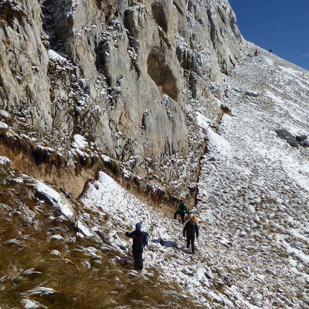
Is a multidisciplinary joint research unit comprising geophysicists, geologists, and astronomers working on crucial scientific issues such as: telluric hazards – seismic, gravitational and tsunamigenic events – and related risks; lithosphere dynamics and Earth imaging; geodesy and metrology of the Earth and the nearby universe…
![]() |
![]() |
![]() |
![]() |
![]() |
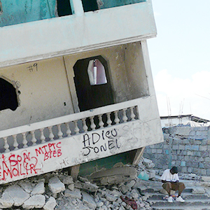
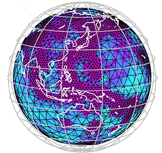
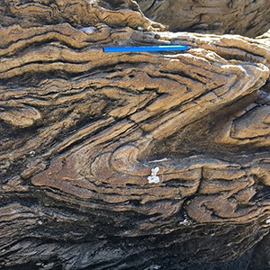
Identifying, measuring, modeling and better understanding the factors and processes that contribute to the genesis of earthquakes and characterize their properties | Coping with the risks induced by large earthquakes, tsunamis and landslides impacting our societies and environment | Developing imaging and modeling techniques for the scanning of the Earth’s interior from the upper layers to greatest depths | Studying lithospheric and crustal deformations at different time scales and better understanding their relationships with deeper processes | Developing instrumentation for measuring and modeling planetary and Earth deformations and interactions, and to test theories of fundamental physics |
Géoazur_recherche
LisAlps - Explorer la lithosphère alpine en 3D par inversion de formes d'ondes des données télésismiques AlpArray - ANR 2021
Probing the 3D Alpine lithosphere by Full Waveform Inversion of the AlpArray teleseismic data
NILAFAR - Quantifier les fluctuations hydrologiques, documenter leurs conséquences sur les communautés humaines passées - ANR PRC 2021
The NILe and AFAR regions: hydrologic changes and impact on human adaptation in the last 20,000 years
EARLI - Détection de signaux sismiques précoces en utilisant l'intelligence artificielle - ERC 2021
Detection od Early seismic signal using ARtificial Intelligence
WIND - Inversion de formes d'ondes - Consortium Pétrolier 2020
Waveform Inversion of Node Data
S5 - Séismes Lents & Essaims Sismiques - ANR 2019
Synchronous Slow Slip & Seismic Swarm
MARACAS - Les terrasses marines comme proxy pour l’appréhension de l’aléa sismique - ANR JC 2018
MARine terraces alonf the northern Andean Coast as a proxy for seismic hazard ASsessment
Et aussi...
All the labs former projects